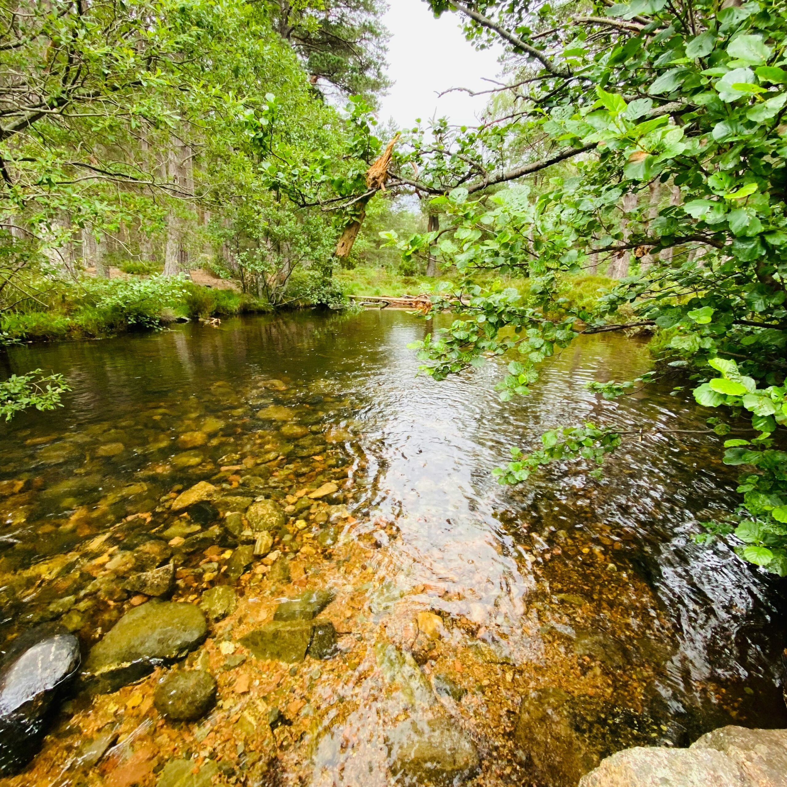
Scotland’s landscapes are changing, as is the climate, and as a result extreme events like flooding and drought are becoming more frequent or intense. This increasingly puts lives and livelihoods at risk, so it is crucial to monitor water levels and flow across both small and large water bodies. This ‘ground monitoring data’ helps us build more accurate computer models which can be used for a variety of purposes:
- Provide life-saving intelligence on the extent of flood waters in almost real-time to emergency services during flood events as part of the Satellite Emergency Mapping Service (SEMS).
- Improve the accuracy of flood forecasting models to provide early warnings and facilitate scenario analysis.
- Support decision-making in water and land management by providing data on the effectiveness of measures to reduce the impact of extreme weather.
Monitoring technology we use:
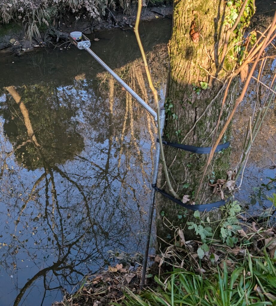
Water Level Radar Sensor
- A small radar sensor for continuous water level measurement, to be mounted on a scaffolding arm above the water surface, ideally supported by existing features (like trees), being fully removeable without causing damage.
- The IP66/67-rated sensor measures 102x102x102 mm and weighs up to 3.4 kg.
- The device is battery operated and requires routine maintenance visits every 6-12 months in coordination with landowners and access restrictions.
- The sensor transmits data remotely in near real-time via LoRaWAN (Long Range Wide Area Network) to the Forth-ERA online data visualisation platform.
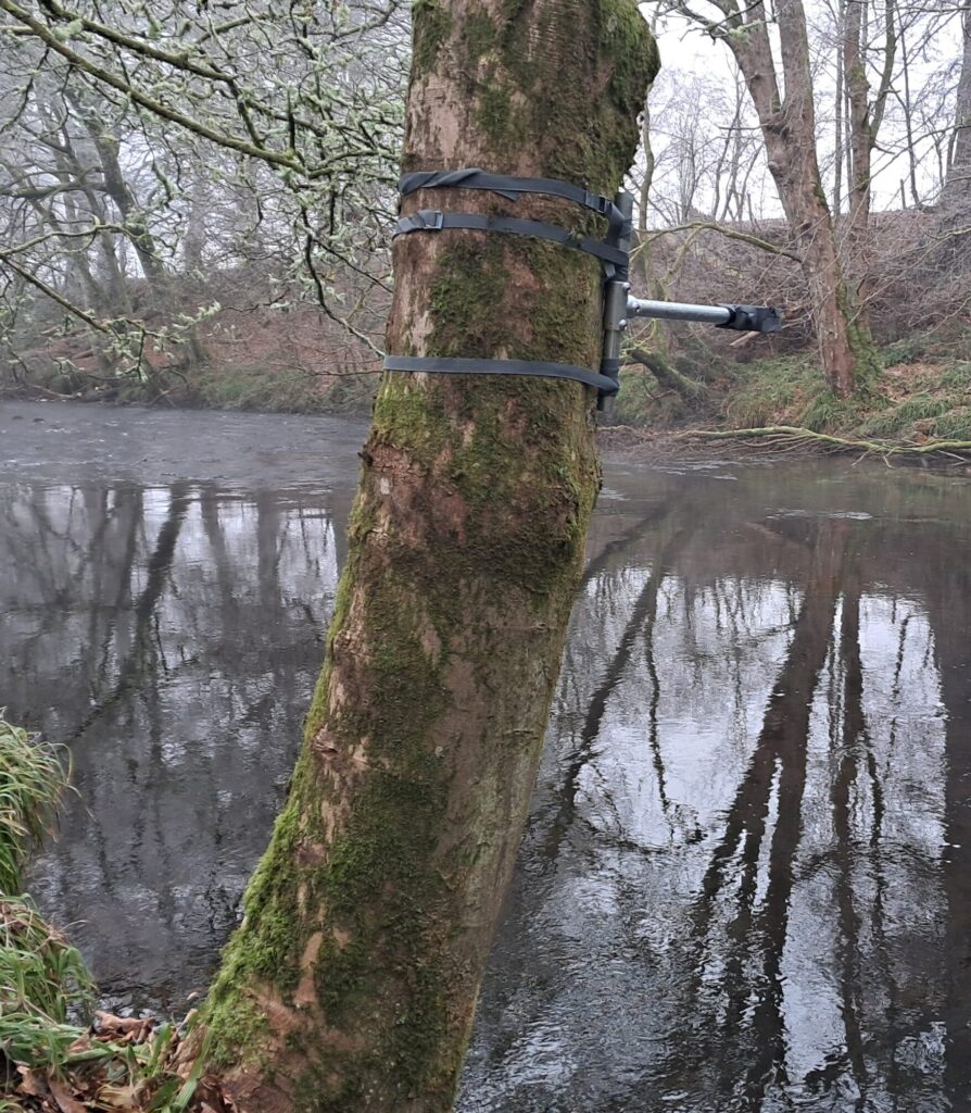
Community Water Level Sensor
- These small and affordable water level sensors are installed in collaboration with Rivertrack, on a mission to enhance the flood resilience of Scottish communities.
- The battery-powered sensor measures 123x120x51 mm and weighs approximately 425g.
- The sensor is mounted by strapping to a tree at least 0.25m above the highest expected water level and no more than 5m above the lowest expected water level. It is fully removeable without damage to the tree.
- The sensor transmits data remotely in near real-time via LoRaWAN (Long Range Wide Area Network) to the Forth-ERA online data visualisation platform.
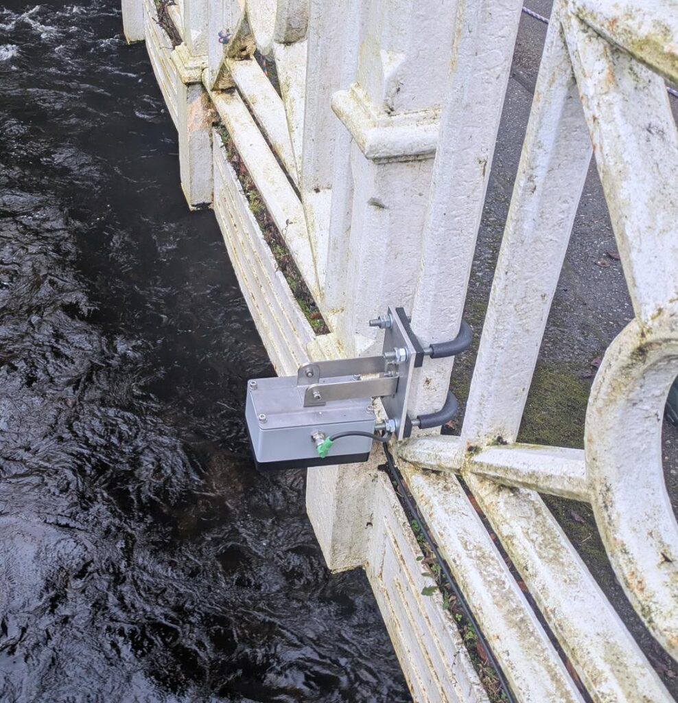
Water Level and Flow Radar Sensor
- A small radar sensor for simultaneous water level and velocity data acquisition, to be mounted in a central position above the water surface onto bridge railings
- The IP68-rated sensor, incl. backplate, measures (L) 16cm x (W) 9.7cm x (H) 9.1cm and weighs 1.15 kg and will be attached to bridge railings using rubberised U-bolts, thus being fully removeable without damage to the bridge.
- The device is connected by cable to a communications box and solar panel, which can also be mounted to the bridge or to a scaffolding post on land near the bridge.
- The sensor transmits data remotely in near real-time via the cellular network.
- Routine maintenance visits by our technical team required every 6 months in coordination with landowner(s).